|

|
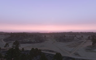
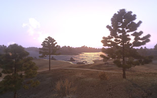
緑海に面し、長大な河川を有して 30km x 30km の広さを持つ Arma 3 用 The Lost Coast マップ アドオン が開発中ながらも公開されました。
アドオンではフィンランドの南東に実在する地形を使って、 30.72 km x 30.72 km の 943 平方キロメートルという広さ。空中写真を使って、 ピクセル当たり 7.5 メートル、 4096 x 4096 という高解像度の標高データという詳細さです。

|

|
衛星画像は 30720 x 30720 の衛星画像を使用し、総延長 2454 km の道路が現実と同じように配置されています。
実在の都市 Porvoo にを元に 1 つの大きな首都やいくつかの集落(現在、建物は未設置)、石油採掘所、そして多くの島で構成されているマップになります。
マップは現在、お試し版となっておりいくつもの不具合が確認されています。
クレジット
- The National Land Survey of Finland for making the raw data this project uses
- BI for the Arma games
- Rydygier for helping me debug this map
- Jakerod for creating the Atlas tutorial
- All the guys over at the terrain editing forums for being helpful. Shared misery and all that
[WIP] The Lost Coast 30x30km terrain (preview version included) - BI forum


0 コメント:
コメントを投稿